Влезте
Всички ресурси
Създаване на дизайн
79 Свободни изкуства за Old Maps Of The United States
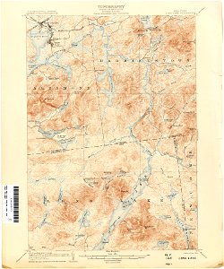
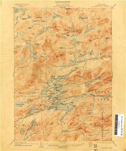
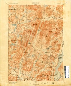
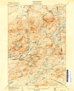
карти
ню йорк
пенсилвания
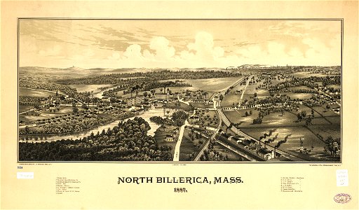
масачузетс
книга
ислямски
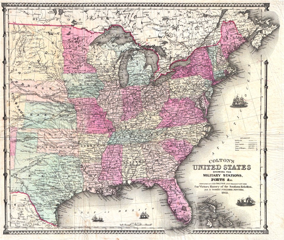
съединени щати
мериленд
калиграфия
стар
ню йорк
западна вирджиния
пенсилвания
пенсилвания
ню йорк
ню йорк
масачузетс
масачузетс
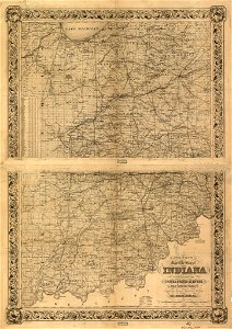
индиана
мисури
кентъки
охайо
карти
книга
карти
книга
карта на света
карти
австралия
карти
1 - 79 z celkového počtu 79
/ 1